Map Reference

Preserved Northern Coast Lighthouses

This page gathers preserved lighthouses by place and present condition, offering a clear geographic reference for coastal heritage research.

Historical reference overview only: entries are curated for context and archival study, not for tourism booking or commercial travel planning.

Preserved tower field guide

Six northern coast towers, organized for place-based browsing

Use this directory as a map companion: each record pairs shoreline location with preservation status and a brief historical note so researchers, residents, and travelers can scan by geography first.
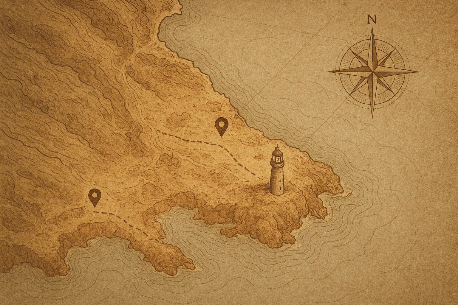
Archival-style coastal reference chart showing the northern shoreline with handwritten lighthouse markers and route lines
Reference plate: representative shoreline markers used in the preserved tower directory.
  • North Head Lantern

    Shoreline area
    Cape Windward
    Preservation note
    Lantern room restored (1998)

    Granite tower overlooking the old pilot channel, now maintained by the local heritage trust.

  • Drift Point Beacon

    Shoreline area
    Driftwater Bluffs
    Preservation note
    Iron gallery stabilized (2007)

    Compact cast-iron light station known for fog-signal records kept by two generations of keepers.

  • Hearthbay Tower

    Shoreline area
    Hearthbay Inlet
    Preservation note
    Keeper house conserved (2014)

    Brick-and-stone pair of tower and dwelling, interpreted with period furnishings and logbook facsimiles.

  • Long Shoal Light

    Shoreline area
    Outer Shoal Reach
    Preservation note
    Foundation reinforced (2019)

    Wave-exposed offshore structure recorded in winter maintenance journals and coastal survey photographs.

  • Seacliff Signal Tower

    Shoreline area
    Seacliff Passage
    Preservation note
    Lens chamber resealed (2003)

    Tall masonry landmark on a narrow headland, noted for long-range visibility along cargo routes.

  • Marrow Cove Lantern

    Shoreline area
    Marrow Cove
    Preservation note
    Timber stairs rebuilt (2011)

    Small harbor light with intact service path and documented volunteer repaint cycles every five years.

Visit & Research FAQ

Practical notes for exploring preserved towers

Answers to common reference questions about access, terminology, and how to use this archive responsibly.

What does “preserved” mean in this archive?
“Preserved” indicates a documented standing tower or surviving structural element with recognized conservation status, not necessarily a fully restored site.
Are all preserved towers open to the public?
No. Some towers are viewable only from public roads, trails, or shoreline points. Access notes identify known restrictions, seasonal closures, or private property boundaries.
Do original keeper buildings usually survive with the tower?
Survival varies by site. Some stations retain keeper housing or foundations, while others preserve only the tower. Each entry distinguishes extant, altered, and lost companion structures.
How are lighthouse locations grouped in the archive?
Locations are grouped by coastal reach and historic approach routes so neighboring towers can be compared geographically and within shared navigation contexts.
How should this archive be used as a historical reference?
Use entries as curated starting points: verify dates against cited records, quote with attribution, and pair tower notes with the keeper stories and map listings for fuller context.

Ready for the next thread? Explore the archive and follow the coastline through photos, stories, and surviving towers.